Jersey’s Green Canopy: A Digital Frontier in Environmental Stewardship
Summary: Jersey’s innovative digital mapping tool has put the island’s tree coverage on the virtual map, allowing residents and environmentalists alike to zoom in on individual trees. This cutting-edge technology not only showcases Jersey’s lush landscapes but also serves as a critical instrument for promoting environmental conservation and sustainable land management practices.
The Digital Arboreal Landscape
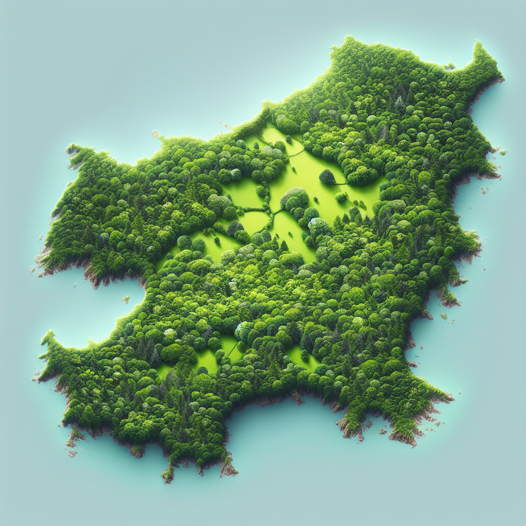
In an age where digital technology meets environmental conservation, Jersey has taken a significant leap forward. A new digital mapping tool, which provides a detailed view of the island’s tree coverage, has become a topic of much interest among the local community and beyond. The interactive map’s capabilities allow users to not only admire the beauty of Jersey’s greenery from a bird’s eye view but also to engage in proactive environmental stewardship.
With a simple click, users can now explore the verdant expanses of Jersey, identifying individual trees and gaining estimates of tree coverage across the island. This represents a monumental step in environmental data accessibility, a tool that could be crucial for urban planners, conservationists, and the public in safeguarding Jersey’s natural heritage.
Branching Out: Implications and Benefits
The implications of this technological advancement are manifold. For one, it enables better planning and management of green spaces, ensuring that development does not come at the cost of Jersey’s environmental health. It also empowers citizens to take an active role in monitoring and reporting on the state of their local ecosystems, fostering a collective sense of responsibility for the island’s natural environment.
Moreover, the tool’s data can serve as a baseline for measuring the success of environmental policies and initiatives. It could potentially highlight areas in need of more greenery, guiding reforestation efforts and contributing to the island’s climate change mitigation strategies.
Rooting for the Future: Challenges and Considerations
While the digital map is a significant achievement, it is not without its challenges. Ensuring the accuracy of the data, maintaining the map’s updates, and integrating it into the wider environmental policy framework will be crucial for its long-term success. Additionally, there is the risk of data misuse or privacy concerns, which must be navigated with care and transparency.
Another consideration is the digital divide. Ensuring that all members of the community, regardless of their technological proficiency, can access and benefit from this tool is essential. This may involve educational initiatives to teach the public how to use the map effectively and responsibly.