Jersey’s Virtual Forest: A Leap into the Future of Environmental Monitoring
Key Points: Jersey has embraced a new digital tool that maps the island’s tree coverage with remarkable precision. This innovative technology allows users to zoom in on individual trees, offering a detailed estimate of the island’s arboreal assets. It’s a significant step towards advanced environmental monitoring and a testament to Jersey’s commitment to green initiatives.
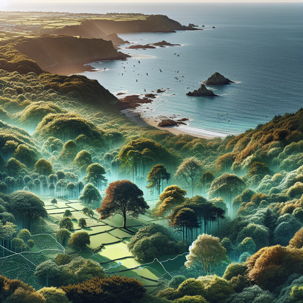
Mapping the Green: Jersey’s Digital Canopy
In the digital era, Jersey is not just keeping pace but setting the standard with a new tool that’s got both tech aficionados and tree huggers talking. The island’s latest foray into digital mapping provides an unprecedented view of its tree coverage, down to the last leafy detail. This isn’t just a case of seeing the forest for the trees; it’s about knowing each branch and twig.
With this tool, Jersey’s residents can virtually wander through the island’s greenery, gaining insights into the density and distribution of tree coverage. It’s a boon for environmentalists, policy makers, and anyone with a penchant for Jersey’s verdant landscapes.
The Roots of Innovation: Why It Matters
Jersey’s digital mapping initiative is more than a fancy way to spy on your favourite oak or chestnut tree. It’s a critical asset for environmental planning and conservation efforts. By understanding the spread and health of tree populations, Jersey can better manage its natural resources, ensuring that development and nature coexist in harmony.
This tool also has the potential to engage the community in environmental protection efforts. With access to such detailed information, citizens can become the eyes on the ground, reporting issues and contributing to the preservation of the island’s natural beauty.
Challenges in the Canopy: Potential Pitfalls
However, with great data comes great responsibility. Ensuring the accuracy and privacy of the information is paramount. The island must also consider how to keep the map updated and relevant, which will require ongoing investment and technological support.
Furthermore, there’s the challenge of making this tool accessible to all. Bridging the digital divide is essential to ensure that every Jersey resident can benefit from this environmental innovation, regardless of their tech-savviness.
The NSFW Perspective
From the NSFW lens, Jersey’s digital tree map is a shining example of how technology can serve the environment. It’s a modern solution to age-old questions of conservation and land management. But let’s not forget, while the map is a fantastic resource, it’s the actions we take based on its data that will truly define our environmental legacy.
As Jersey’s residents and stewards of this island, we have a unique opportunity to use this tool to its fullest potential. It’s a chance to show the world that when it comes to environmental innovation, Jersey is not just on the map; we’re helping to redraw it.
So, let’s embrace this digital canopy with open arms and green thumbs. After all, in the quest to protect our island’s natural splendour, every tree is a landmark, and now, we have the map to prove it.
In conclusion, while this digital map is a significant stride in environmental monitoring, it’s the commitment to sustainability and community involvement that will ensure Jersey’s green spaces continue to flourish. It’s not just about mapping trees; it’s about planting the seeds for a greener future—one that we can all watch grow from the comfort of our screens.